Where was this photo taken?

Photo: Dallas skyline and a Trinity River levee from North Hampton - Inwood road (cropped).jpg, Wikimedia Commons (public domain / CC0).
Open this spot in Google Maps →
The clues that gave it away
The AI found 5 clues in the picture. Here is what each one told it:
A white single-arch cable bridge, the Margaret Hunt Hill Bridge by Calatrava.
A tall tower topped with a ball, unmistakably Dallas's Reunion Tower.
The tallest slab tower with outlined edges is Bank of America Plaza.
A long white-railed pedestrian bridge spans the floodplain, the old Continental Avenue spa
Wide grassy levee floodplain with oaks and a dirt track suggest Texas river bottoms.
A panoramic view of the downtown Dallas skyline from across the Trinity River floodplain..
Find where your own photo was taken
Upload any photo, screenshot or short video and the same AI reads the signs, buildings, roads and plants to pin the place on a globe, with the clues.
Find where your photo was taken →2 free photo traces when you sign up with Google
More photo locations
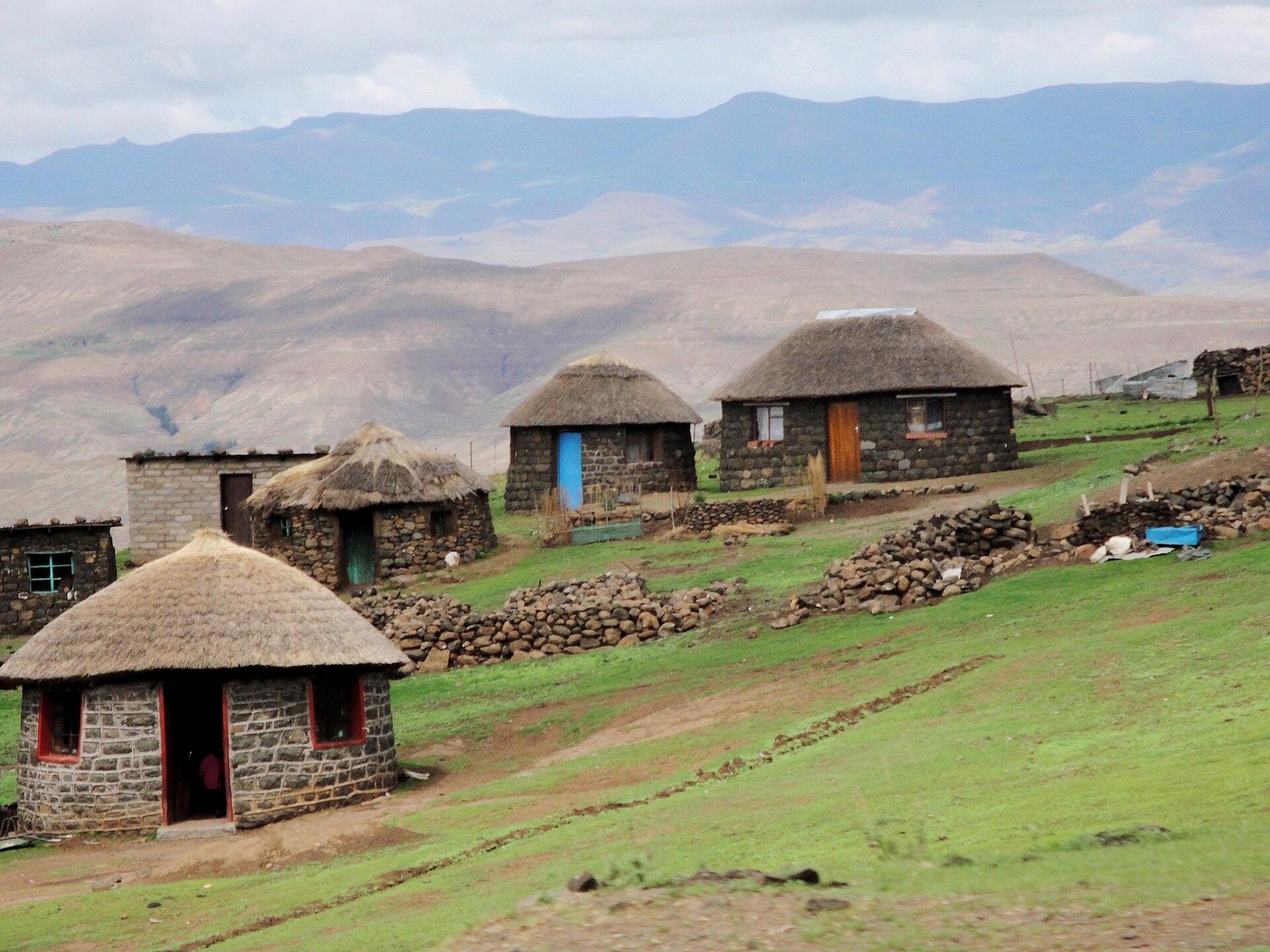 Basotho village in the Maluti
Thaba-Tseka District, Lesotho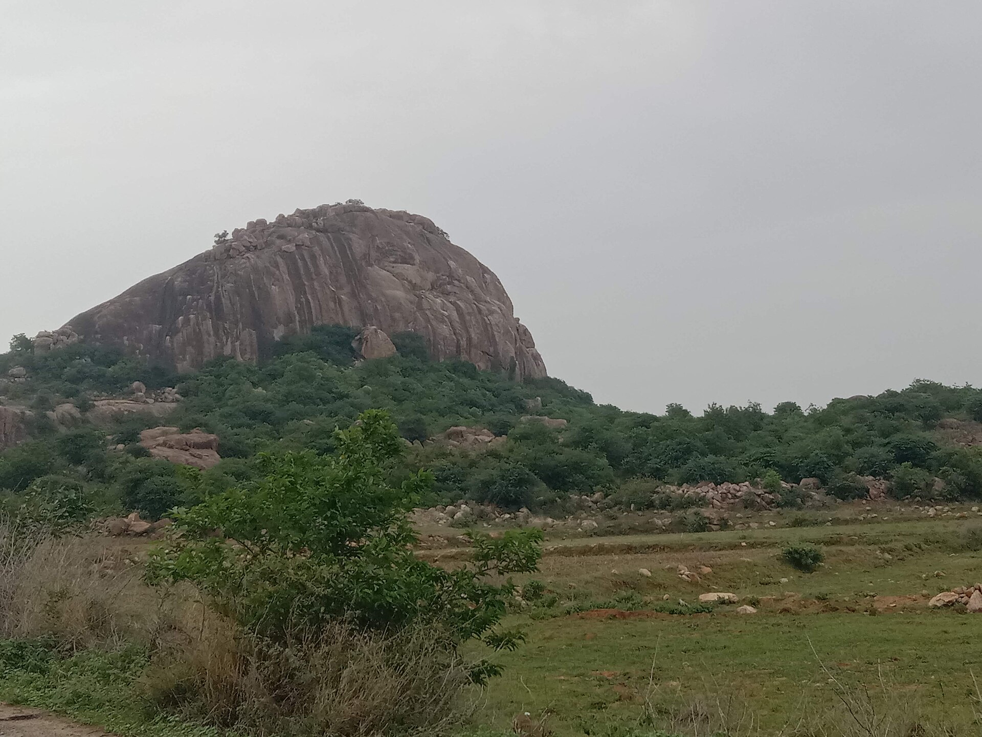 Granite inselberg near Ramanagara
Ramanagara, Karnataka, India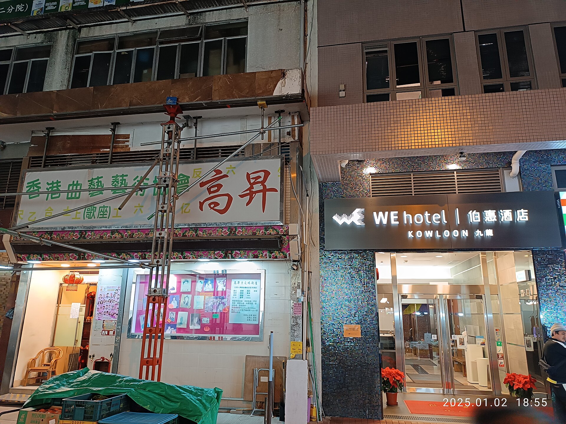 WE Hotel Kowloon, Pak Hoi Street
Hong Kong, China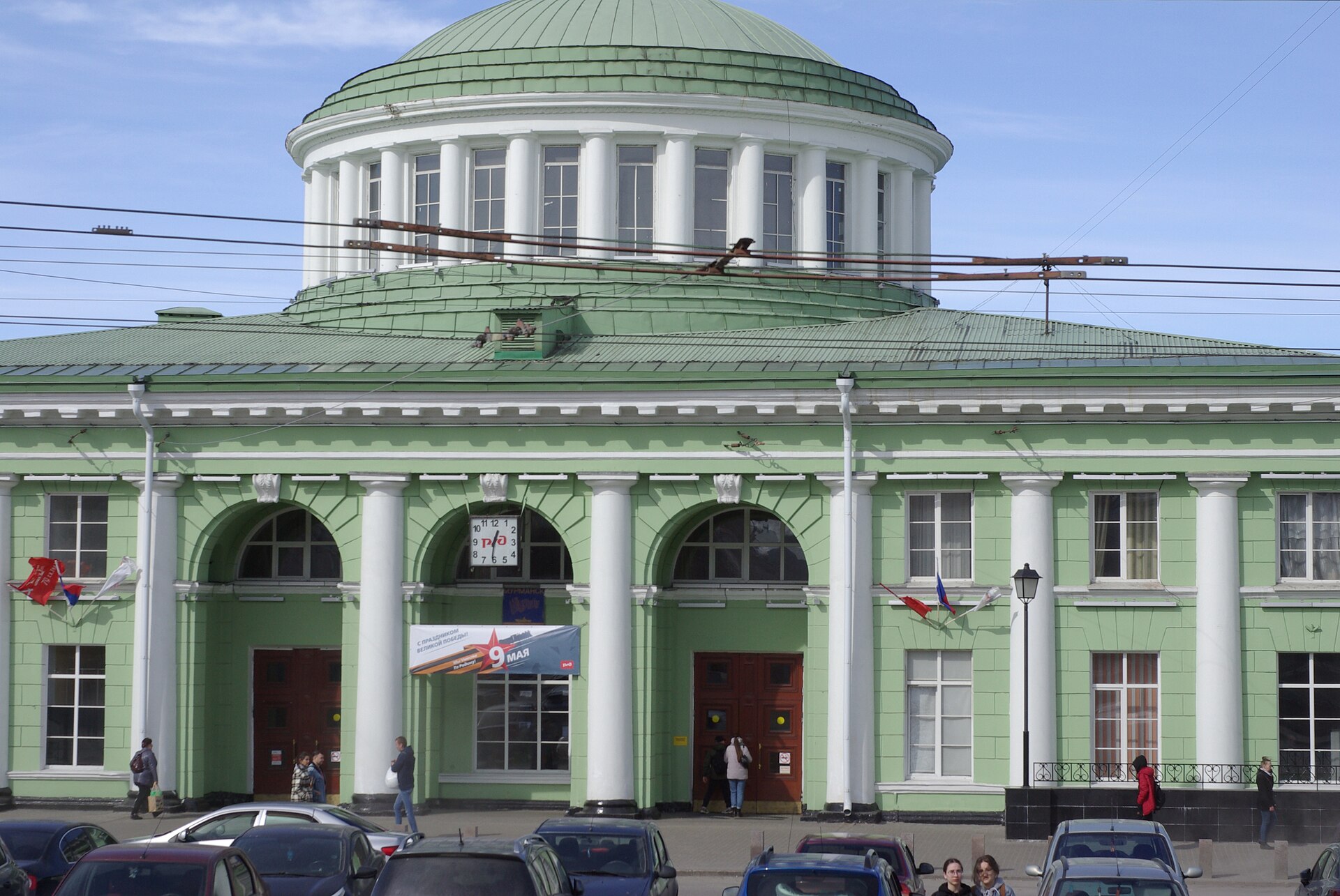 Murmansk Railway Station
Murmansk, Russia Old Kasaan, Prince of Wales Island
Southeastern Alaska, USA Rocky Mountain National Park
Colorado, USA