Where was this photo taken?
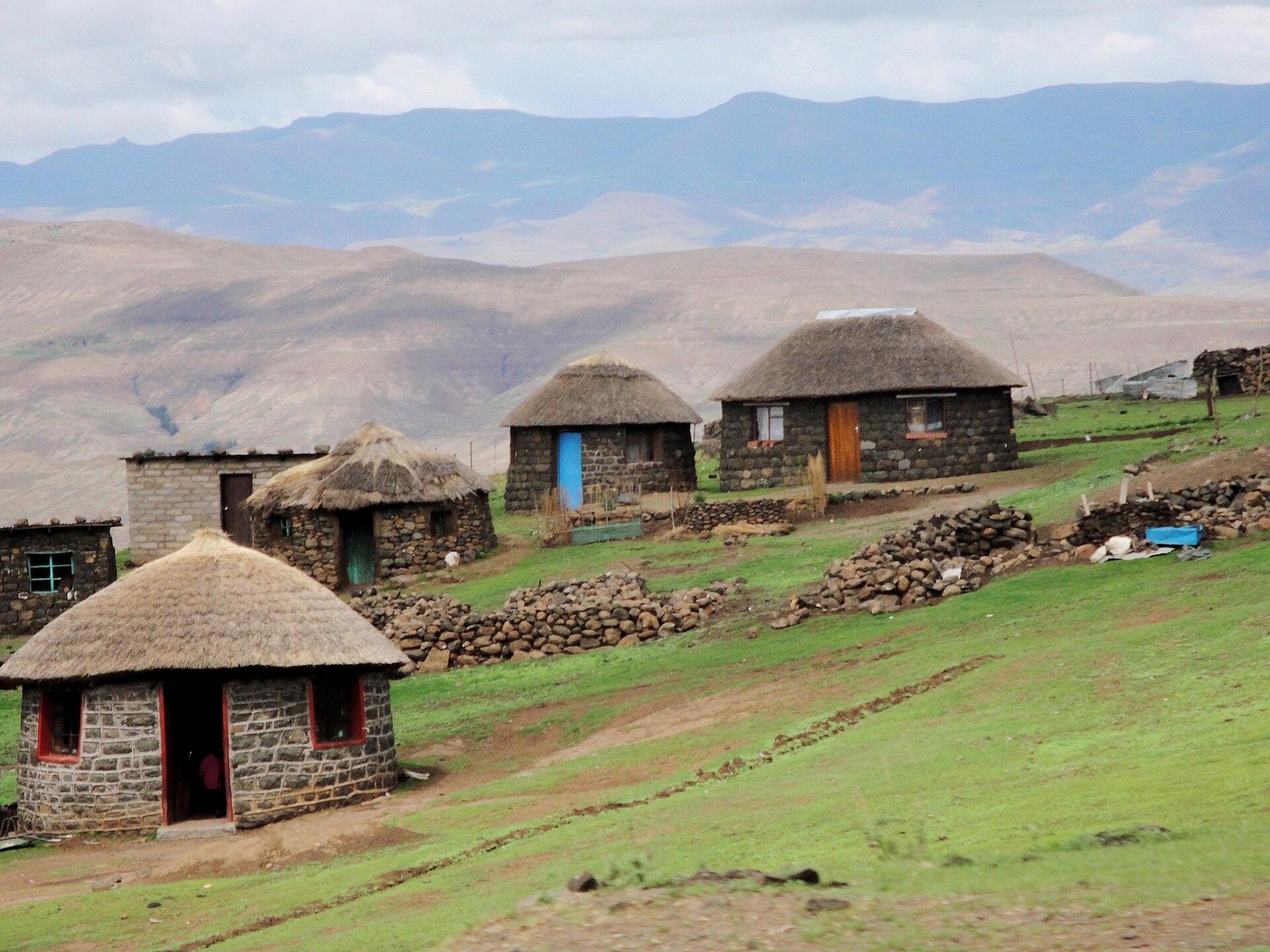
Photo: Lesotho mountain village (5285775857).jpg, Wikimedia Commons (public domain / CC0).
Open this spot in Google Maps →
The clues that gave it away
The AI found 5 clues in the picture. Here is what each one told it:
Round stone huts with conical thatch roofs are classic Basotho rondavels.
Square thatched stone houses with bright doors are typical of rural Lesotho.
Dry-stacked stone walls mark kraals for livestock herding in the highlands.
Layered flat-topped basalt ranges are the Maluti and Drakensberg escarpment.
Treeless, eroded brown slopes point to high-altitude southern African grassland.
A hillside Basotho village of thatched stone huts set against layered mountain ranges..
Find where your own photo was taken
Upload any photo, screenshot or short video and the same AI reads the signs, buildings, roads and plants to pin the place on a globe, with the clues.
Find where your photo was taken →2 free photo traces when you sign up with Google
More photo locations
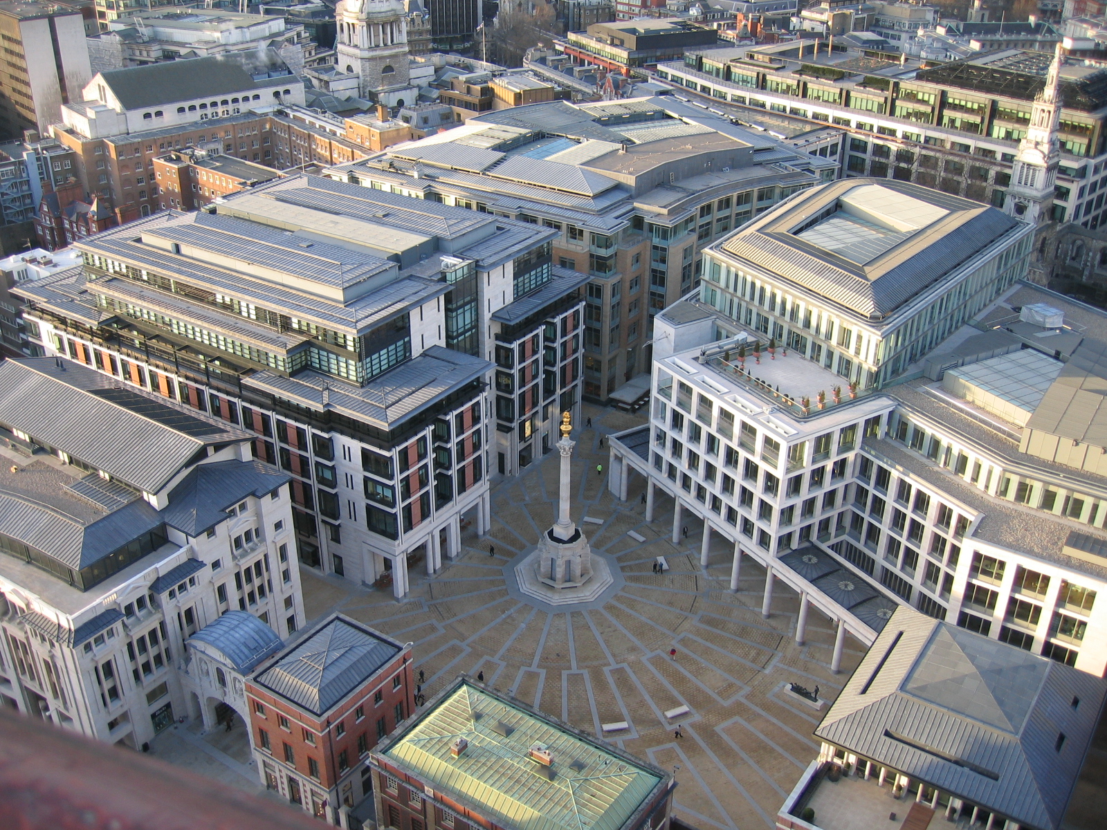 Paternoster Square
London, United Kingdom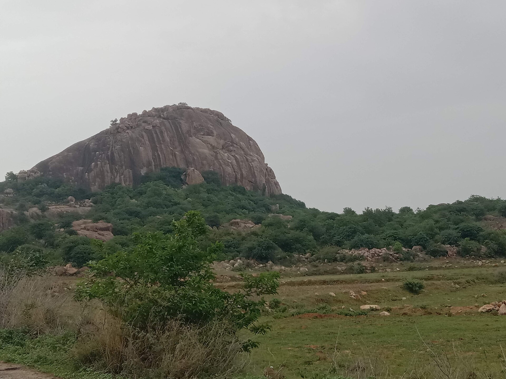 Granite inselberg near Ramanagara
Ramanagara, Karnataka, India WE Hotel Kowloon, Pak Hoi Street
Hong Kong, China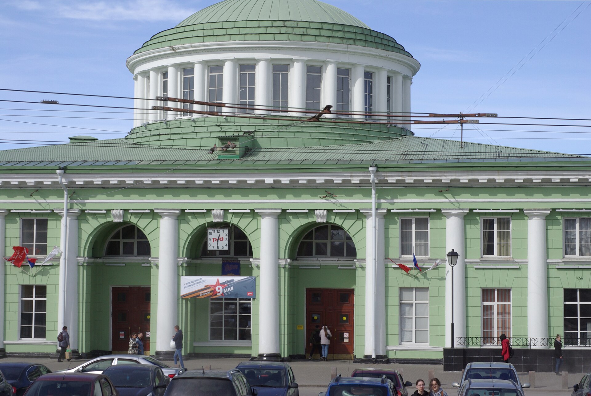 Murmansk Railway Station
Murmansk, Russia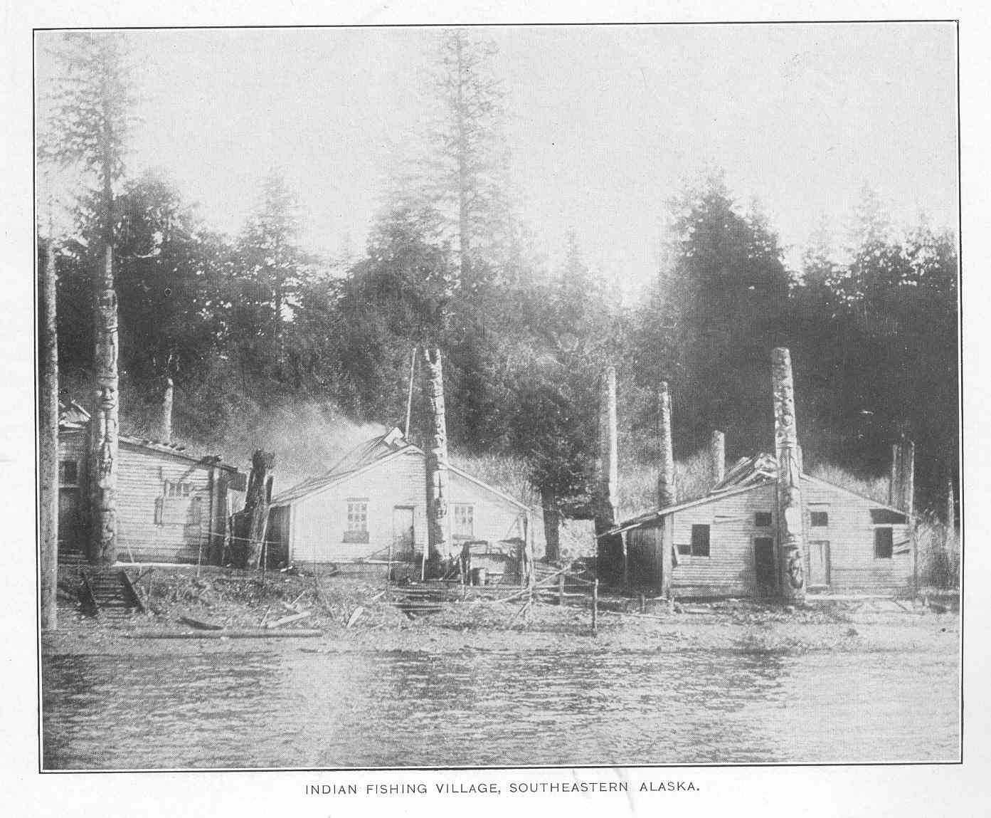 Old Kasaan, Prince of Wales Island
Southeastern Alaska, USA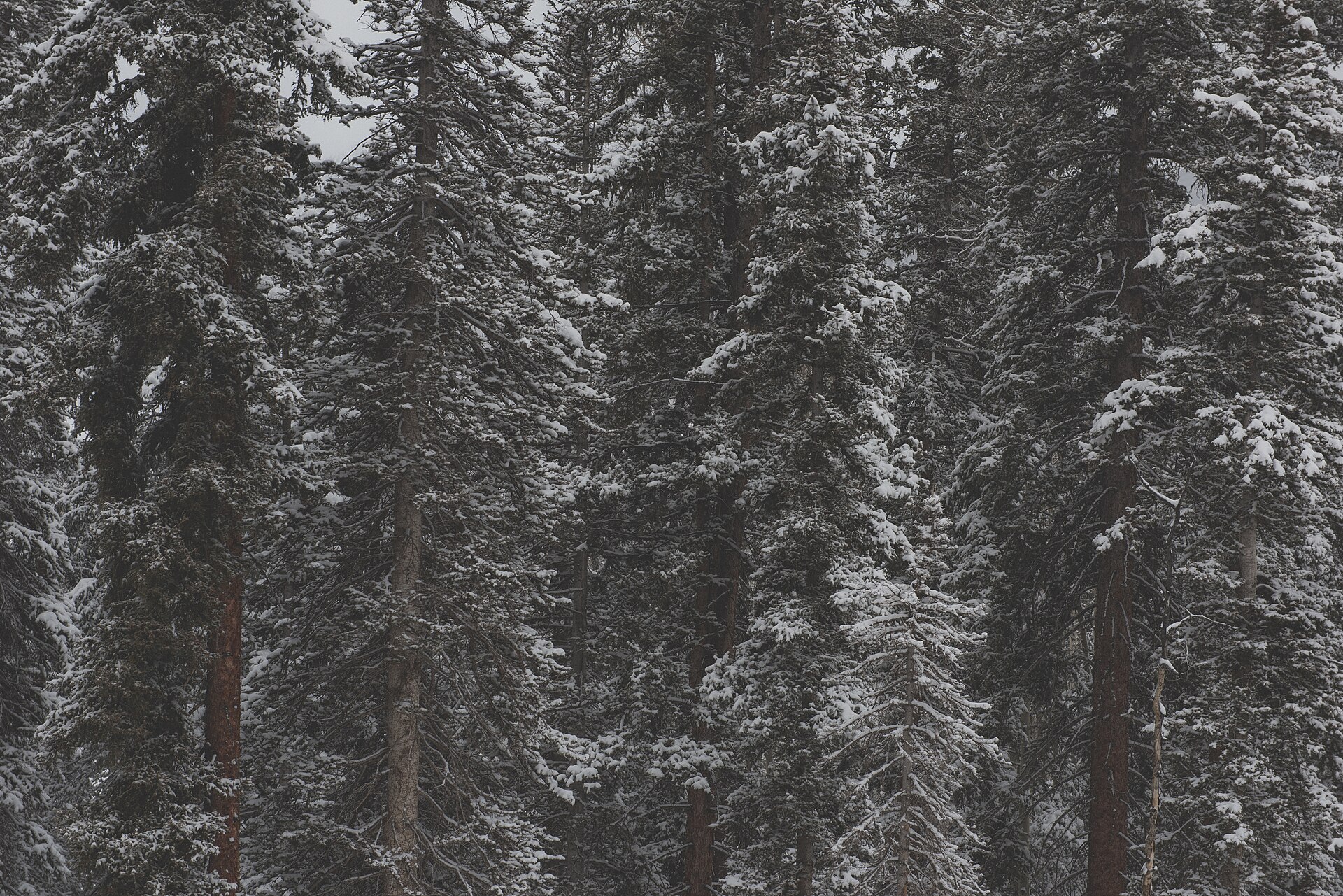 Rocky Mountain National Park
Colorado, USA