Where was this photo taken?
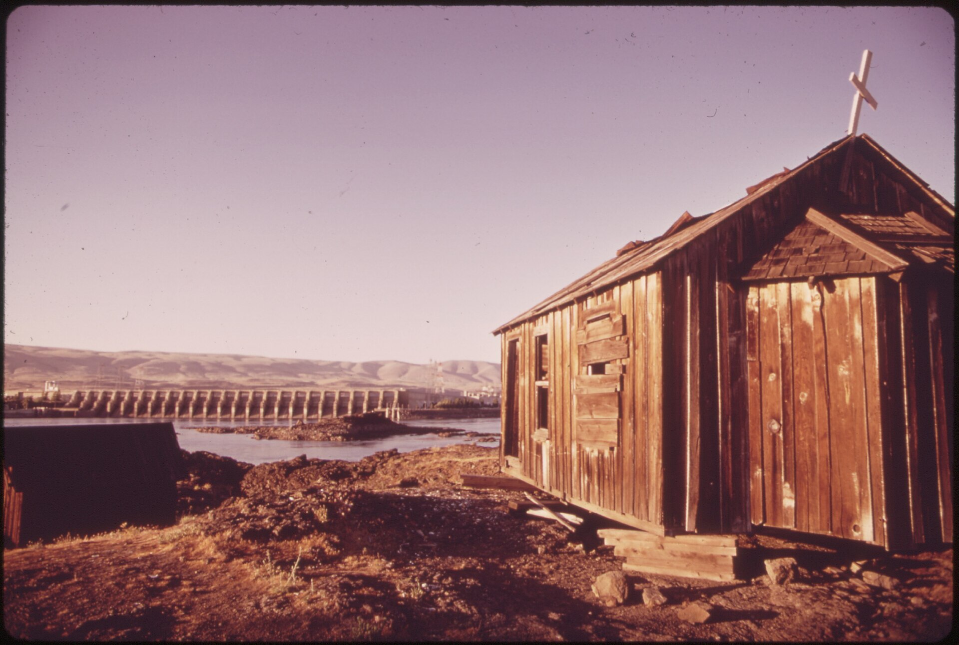
Photo: LAST REMNANT OF AN INDIAN FISHING VILLAGE ON THE WASHINGTON STATE SIDE OF THE COLUMBIA RIVER. THE VILLAGE SITE IS... - NARA - 548165.jpg, Wikimedia Commons (public domain / CC0).
Open this spot in Google Maps →
The clues that gave it away
The AI found 5 clues in the picture. Here is what each one told it:
A weathered wooden chapel with a cross suggests a small riverside community church.
A long concrete spillway with many gates spans a big river, a major Columbia dam.
Treeless, golden rolling hills point to the dry Columbia Plateau east of the Cascades.
Dark basalt rock islands in a wide river fit the Columbia River Gorge geology.
High-voltage transmission towers near the dam show hydroelectric power output.
An old wooden church on the Oregon bank of the Columbia, with The Dalles Dam and dry hills.
Find where your own photo was taken
Upload any photo, screenshot or short video and the same AI reads the signs, buildings, roads and plants to pin the place on a globe, with the clues.
Find where your photo was taken →2 free photo traces when you sign up with Google
More photo locations
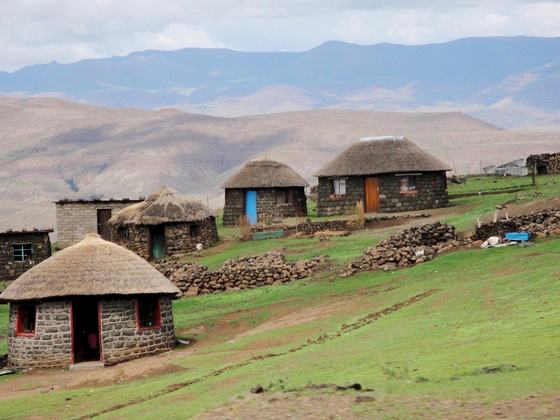 Basotho village in the Maluti
Thaba-Tseka District, Lesotho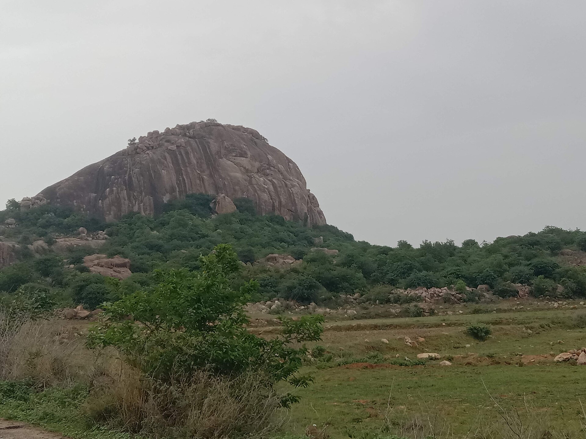 Granite inselberg near Ramanagara
Ramanagara, Karnataka, India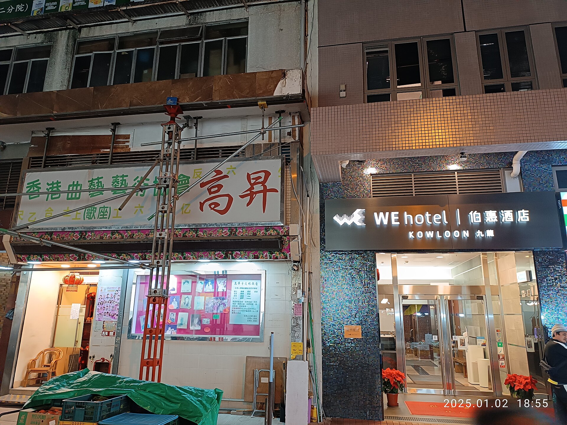 WE Hotel Kowloon, Pak Hoi Street
Hong Kong, China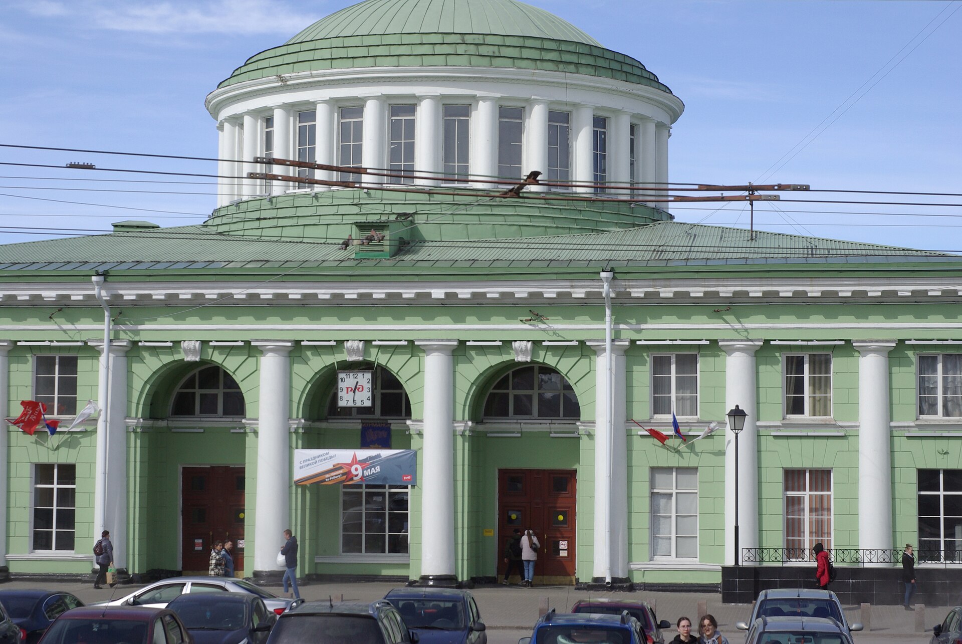 Murmansk Railway Station
Murmansk, Russia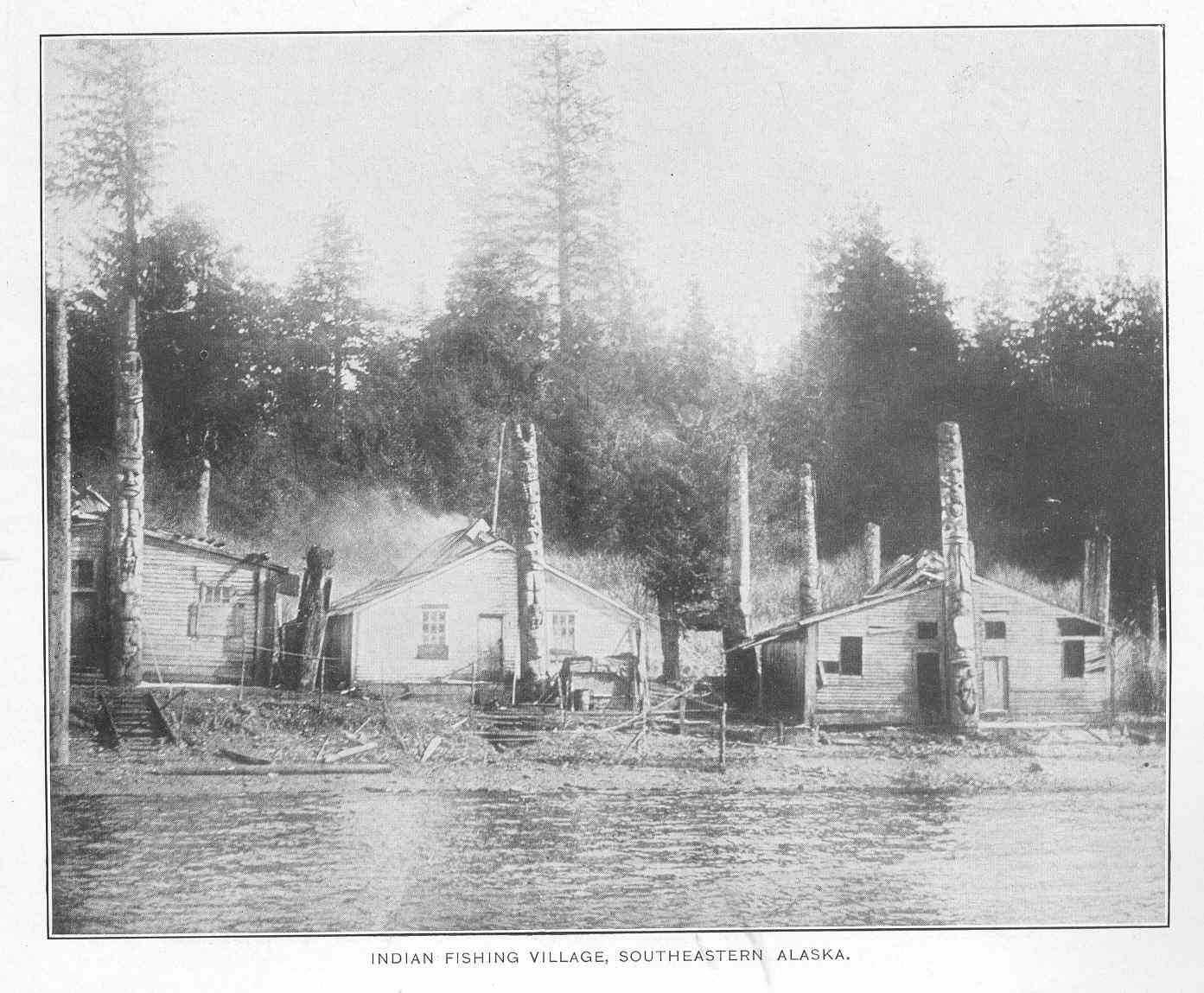 Old Kasaan, Prince of Wales Island
Southeastern Alaska, USA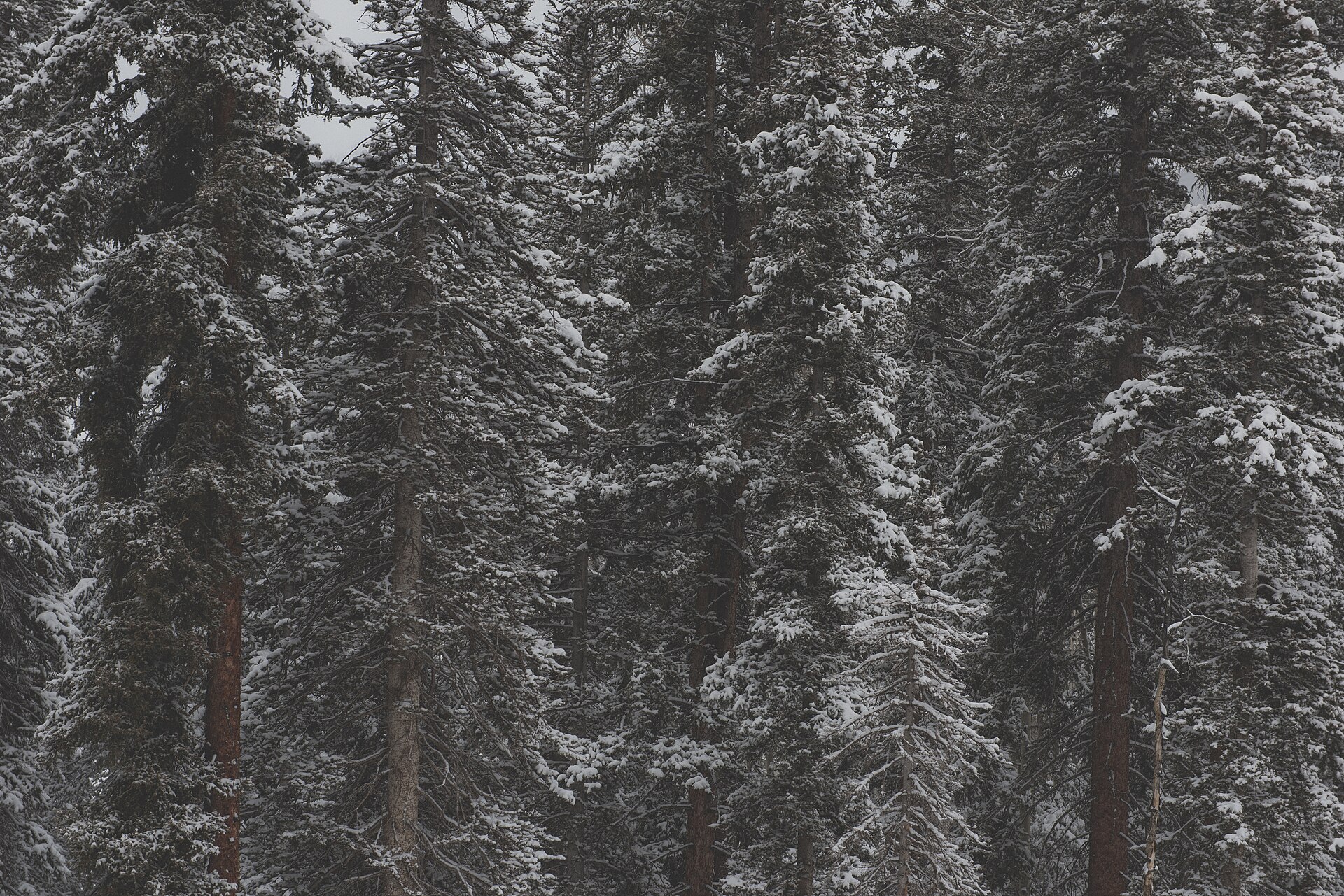 Rocky Mountain National Park
Colorado, USA